✅ Fast shipping anywhere
✅ Secure payment
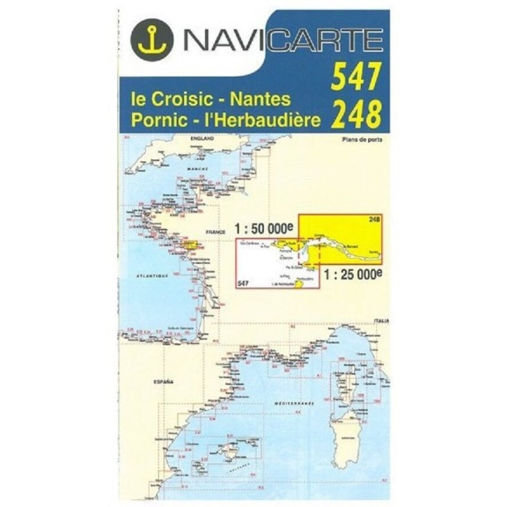
NAVICARTE nautical charts No. 547 & 248 – Le Croisic to l’Herbaudière (1:50,000 & 1:25,000)
Set of 2 nautical charts covering the Le Croisic – Nantes – Pornic – l’Herbaudière area, ideal for coastal navigation and leisure boating.
Scales: 1:50,000 (547) and 1:25,000 (248), providing precise readings of soundings, buoys, ports, and anchorage areas.
Printed on marine-grade paper resistant to moisture and repeated folding, ensuring optimal durability at sea.
Essential for planning and ensuring safe navigation along the Atlantic coast.
Related products


✅ Fast shipping anywhere
✅ Secure payment