✅ Fast shipping anywhere
✅ Secure payment
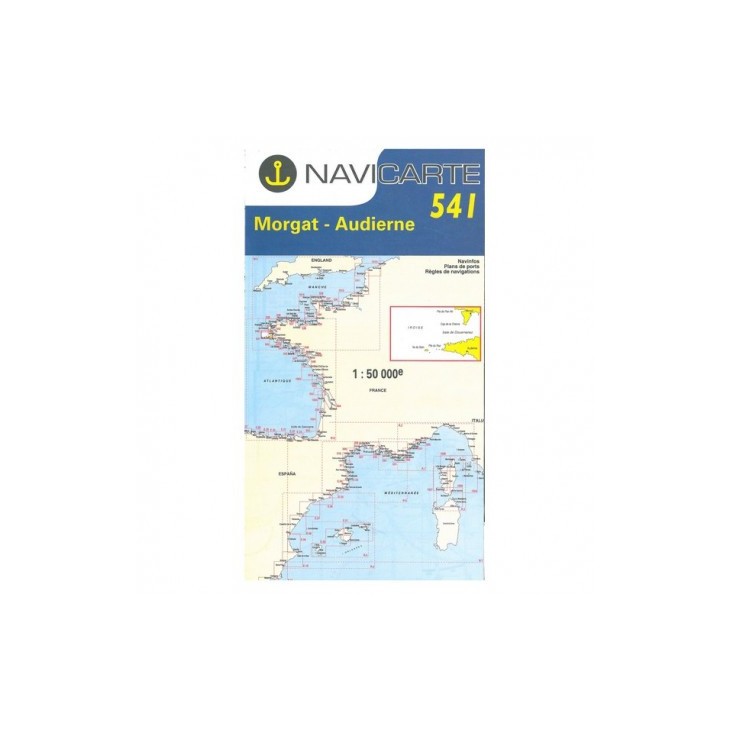
NAVICARTE nautical chart No. 541 – Morgat to Audierne (1:50,000)
Accurate nautical chart covering the area from Morgat to Audierne, ideal for coastal navigation and leisure boating in Brittany.
Scale 1:50,000, featuring detailed harbor plans and bathymetric data from SHOM for safe and reliable navigation.
Printed on marine-grade paper resistant to moisture and repeated folding, designed for long-lasting use onboard.
An essential tool for planning your routes and sailing confidently along the Breton coast.
Related products


✅ Fast shipping anywhere
✅ Secure payment