✅ Fast shipping anywhere
✅ Secure payment
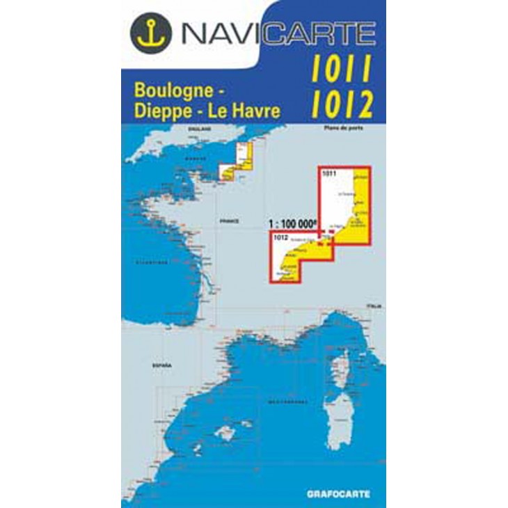
NAVICARTE nautical charts No. 1011 & 1012 – Boulogne to Le Havre (1:100,000)
Set of 2 nautical charts covering the Boulogne – Dieppe – Le Havre area, ideal for coastal navigation and leisure boating.
Scale 1:100,000, providing precise readings of soundings, buoys, ports, and anchorage areas.
Printed on marine-grade paper resistant to moisture and repeated folding, ensuring optimal durability at sea.
Essential tools to plan and ensure safe navigation in the English Channel and the northern coast of France.
Related products


✅ Fast shipping anywhere
✅ Secure payment