✅ Fast shipping anywhere
✅ Secure payment
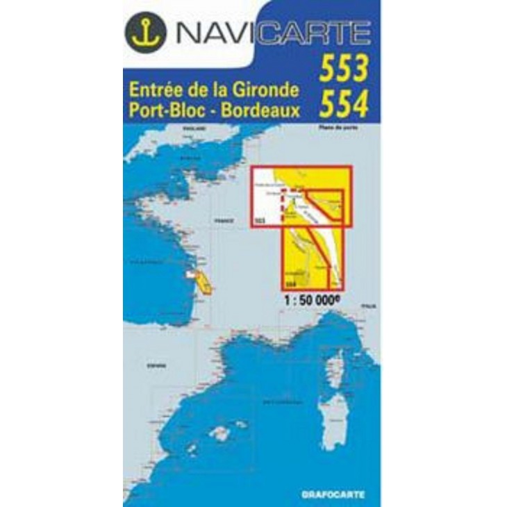
NAVICARTE nautical charts No. 553 & 554 – Gironde Estuary to Bordeaux (1:50,000)
Set of 2 nautical charts covering the Gironde Estuary – Port Bloc – Bordeaux area, ideal for coastal and river navigation.
Scale 1:50,000, providing precise readings of soundings, buoys, ports, and anchorage areas.
Printed on marine-grade paper resistant to moisture and repeated folding, ensuring optimal durability at sea.
Essential for planning and ensuring safe navigation in the Gironde estuary.
Related products


✅ Fast shipping anywhere
✅ Secure payment