✅ Fast shipping anywhere
✅ Secure payment
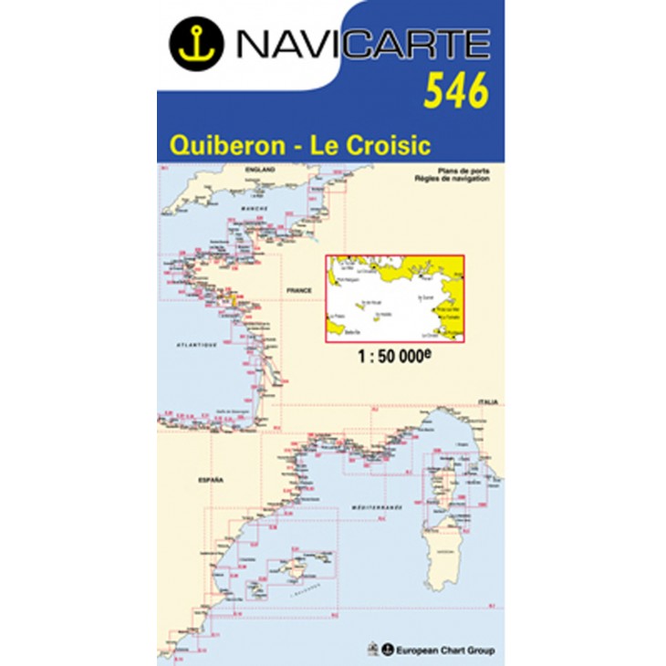
NAVICARTE nautical chart No. 546 – Quiberon to Le Croisic (1:50,000)
Detailed nautical chart covering the area from Quiberon to Le Croisic, ideal for coastal navigation and leisure boating.
Scale 1:50,000, with detailed harbor plans and bathymetric data from SHOM+ for maximum accuracy.
Printed on marine-grade paper resistant to moisture and folding, designed for long-lasting use onboard.
Essential for planning your routes and navigating safely along the Atlantic coast.
Related products


✅ Fast shipping anywhere
✅ Secure payment