✅ Fast shipping anywhere
✅ Secure payment
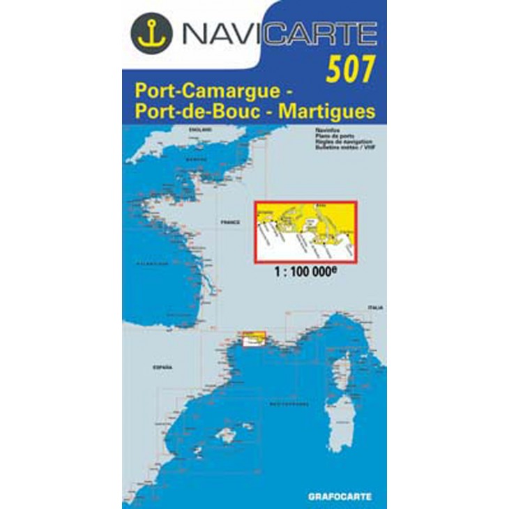
NAVICARTE nautical chart No. 507 – Port-Camargue to Martigues (1:100,000)
Detailed nautical chart covering the Port-Camargue, Port-de-Bouc, and Martigues area.
Scale 1:100,000, suitable for coastal navigation and leisure boating.
Precise information on soundings, buoys, ports, anchorage areas, and coastlines.
High-quality printing on marine paper resistant to moisture.
An essential tool to plan and ensure safe navigation in the Mediterranean.
Related products


✅ Fast shipping anywhere
✅ Secure payment