✅ Fast shipping anywhere
✅ Secure payment
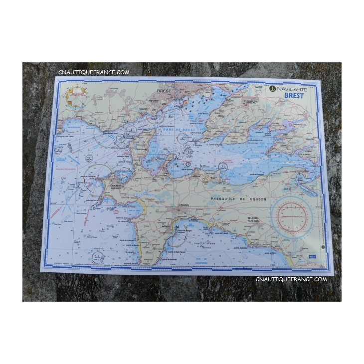
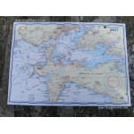
Atlantic Navigation Chart – Brest (A3 format)
Coastal chart specially designed for navigation around Brest.
Compact A3 format (30 × 42 cm), ideal onboard with minimal space requirements.
Laminated for enhanced resistance to water, wear, and repeated handling.
Scale adapted to the navigation area, with bathymetric data from SHOM for maximum accuracy.
A practical and durable tool for coastal sailors in the Brest harbor area.
Related products


✅ Fast shipping anywhere
✅ Secure payment