✅ Fast shipping anywhere
✅ Secure payment
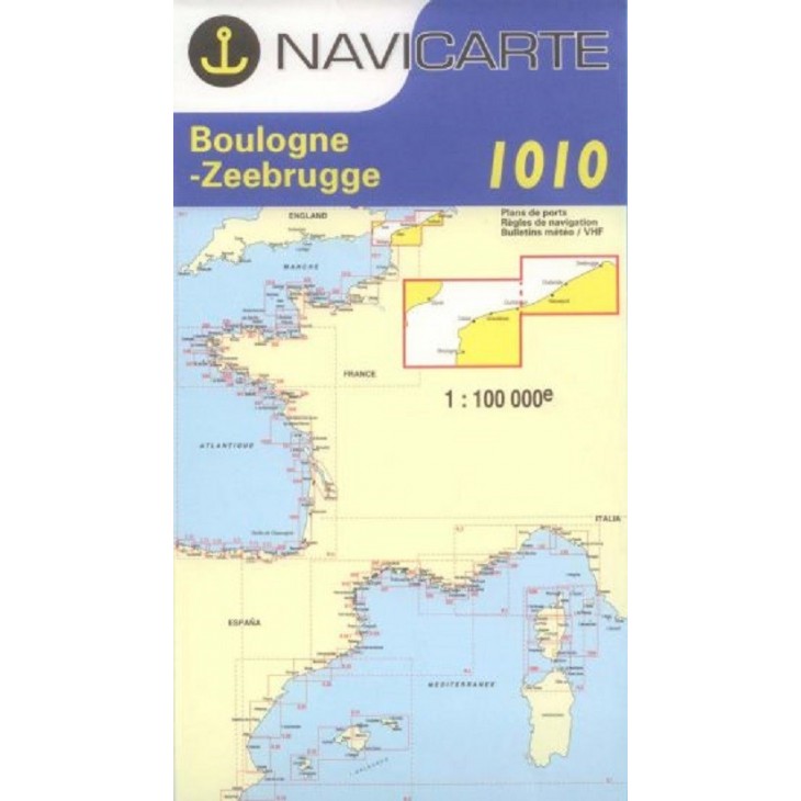
NAVICARTE nautical chart No. 1010 – Boulogne to Zeebrugge (1:100,000)
Detailed nautical chart covering the area from Boulogne to Zeebrugge, ideal for coastal navigation and leisure boating.
Scale 1:100,000, providing precise readings of soundings, buoys, ports, and anchorage areas.
High-quality printing on marine-grade paper resistant to moisture and repeated folding.
An essential tool to plan and ensure safe navigation in the English Channel and North Sea.
Related products


✅ Fast shipping anywhere
✅ Secure payment