✅ Fast shipping anywhere
✅ Secure payment
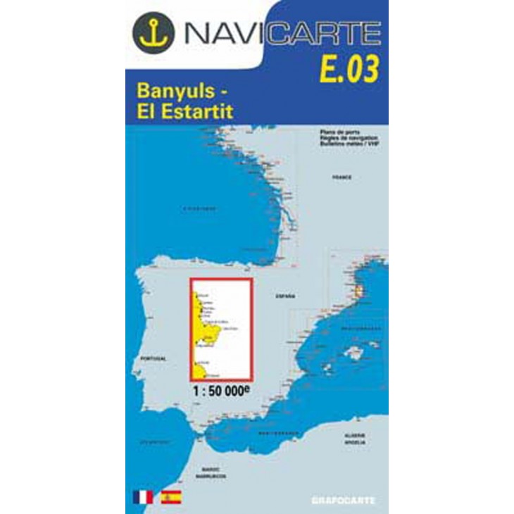
NAVICARTE nautical chart No. E.03 – Banyuls to El Estartit (1:50,000)
Detailed nautical chart covering the area from Banyuls to El Estartit, perfect for coastal navigation and leisure boating.
Scale 1:50,000, providing precise readings of soundings, buoys, ports, anchorage areas, and coastlines.
Printed on marine-grade paper resistant to moisture and repeated folding, ensuring optimal durability at sea.
Essential for planning and ensuring safe navigation along the Mediterranean coast.
Related products


✅ Fast shipping anywhere
✅ Secure payment